Triglav Lakes Valley
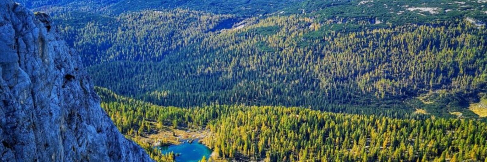
The Triglav Lakes Valley is an alpine valley between Bohinj and Trento, with lakes formed in water-bearing sedimentary basins along the mighty Slaten Plateau. It is about 8 km long. The valley is heavily scrubbed; practically all forms of karst weathering in the Alps are found here. Reddish Jurassic rocks are present, in which fossils can be found.
The valley is sometimes also called the Valley of the Seven Lakes, although there are several more lakes and some are more like puddles. There is much debate about the number of lakes and mires in the valley of the Triglav Lakes, as some of them dry up several times and are therefore not considered lakes. The number most often mentioned is seven. The Triglav Lakes valley is accessible from several sides.
From the Bohinj side, access is possible via Mount Blato, past the source of the Savica River or via Komna. It is a three to four hour walk from the Bohinj mountains or via Komná to the Double Lake, where the Hut at Triglav Lakes (1685 m) is located. The valley begins (or ends) a little lower, where Komarča rises steeply above the Savica waterfall, which represents the most difficult access to the Triglav Lakes valley. At the top of the steep serpentine trail, the Lopučniška valley and the first (or last, depending on which side you look at it from) Triglav lake – Črno jezero (1294 m) – begin. From the Trenta side, it is accessible via a mulatier from the Zadnjica valley or from the village of Log v Trenta, past the Prehodavci prevala, or over the Trebiščino mountain.
Published on: January 11, 2023 - Filed under: Sightseeing - Bohinj